
-
(818) 833-8737
13521 Hubbard St.Sylmar, CA 91342
- Login
September 12, 2026 - Over 80 Earthquakes Hit Los Angeles
Posted on 09/12/2026
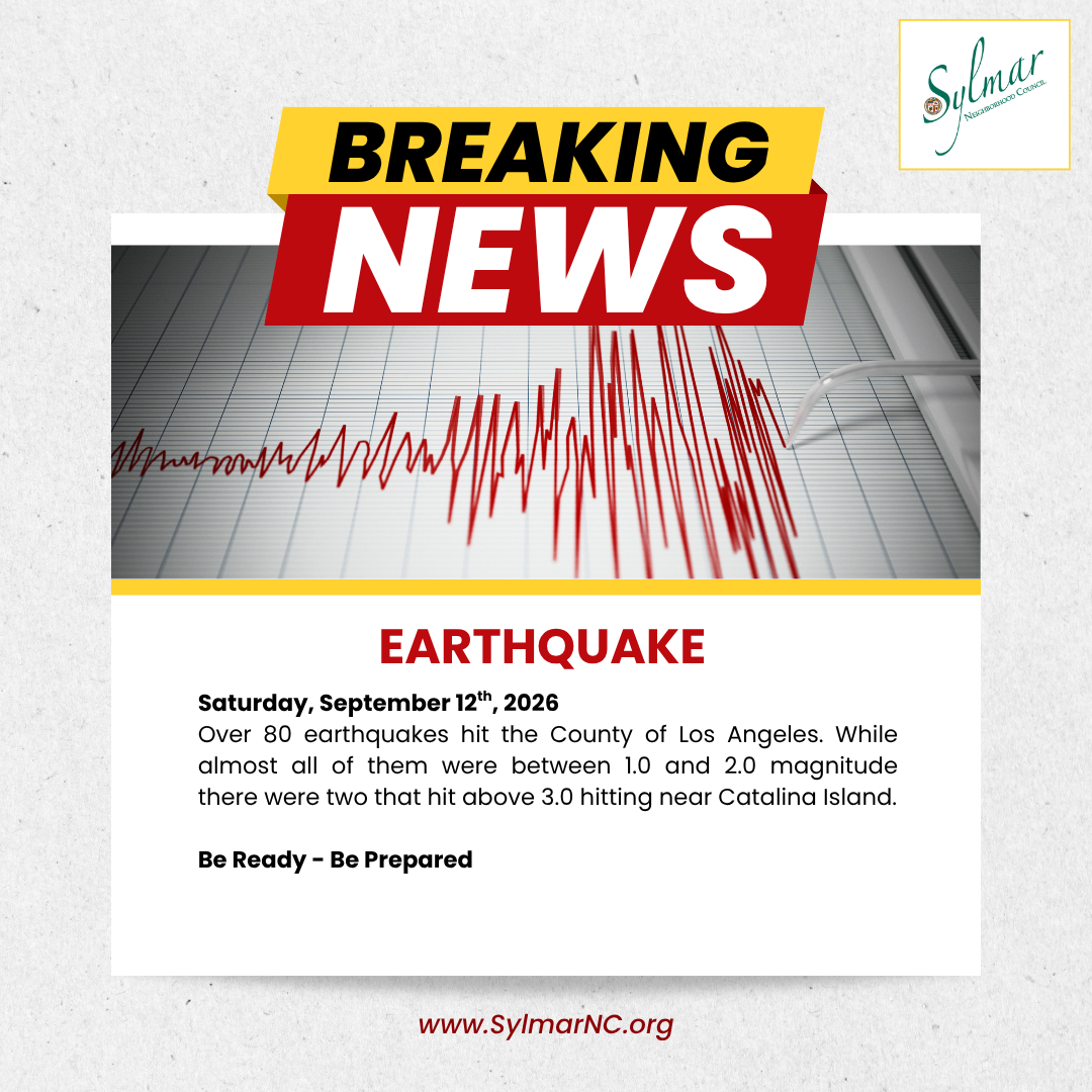
Earthquakes can bring mild to violent shaking and can occur anytime, anywhere. Visit the links below to help you protect yourself, your family, and your property before, during, and after an earthquake.
About 30 earthquakes occur every day in Southern California. Most have a magnitude of less than 2.0 and are almost never felt.
No evidence exists that earthquakes are more likely to occur in certain kinds of weather. Statistically, earthquakes may occur in any kind of weather.
The best place to see any part of the monstrous, 750-mile San Andreas Fault is in Palmdale in a roadcut along the Antelope Valley Freeway (Route 14), just north of Avenue S. The last time this part of the fault was active was in 1857.
The USGS (United States Geological Survey) monitors and reports on earthquakes, assesses earthquake impacts and hazards, and conducts targeted research on the causes and effects of earthquakes.
Southern California Earthquake Data Center (SCEDC)
https://scedc.caltech.edu/recent/Maps/Los_Angeles.html
Earthquake real-time mapping -
https://earthquake.usgs.gov/earthquakes/map/?extent=4.12729,-151.25977&extent=61.81466,-38.67188
Earthquake preparedness -
State of California Earthquake Warning -
https://www.earthquake.ca.gov/
Be Prepared
Resources
General Information
- Ready.gov's Earthquake Preparation Site
- FEMA's Earthquake Safety Checklist
- The Ready Your LA Neighborhood (RYLAN) Plan
For Homeowners
- Homebuilders' Guide to Earthquake Resistant Design and Construction (FEMA 232)
- Earthquake Home Hazard Hunt poster (FEMA 528)
- Reducing the Risks of Nonstructural Earthquake Damage—A Practical Guide, Fourth Edition (FEMA E-74)
- Protect Your Property from an Earthquake
For Teachers, Families, & Children
- Earthquake Safety Tips for Preparing Children
- Earthquake Safety Tips for Preparing Your Family
- Earthquake Safety Tips for Elderly People
- Earthquake Safety Tips for the Physically Challenged
- Earthquake Safety Tips for Pet Owners
For Businesses
- LA County's Economic Development Corporation's Planning for Business Operations After Earthquakes
- FEMA Emergency Preparedness for Business
- U.S. Small Business Administration's (SBA) Planning Resources for Businesses
Earthquake History
https://www.calfireprevention.org/earthquake-history/

Represent Your Community
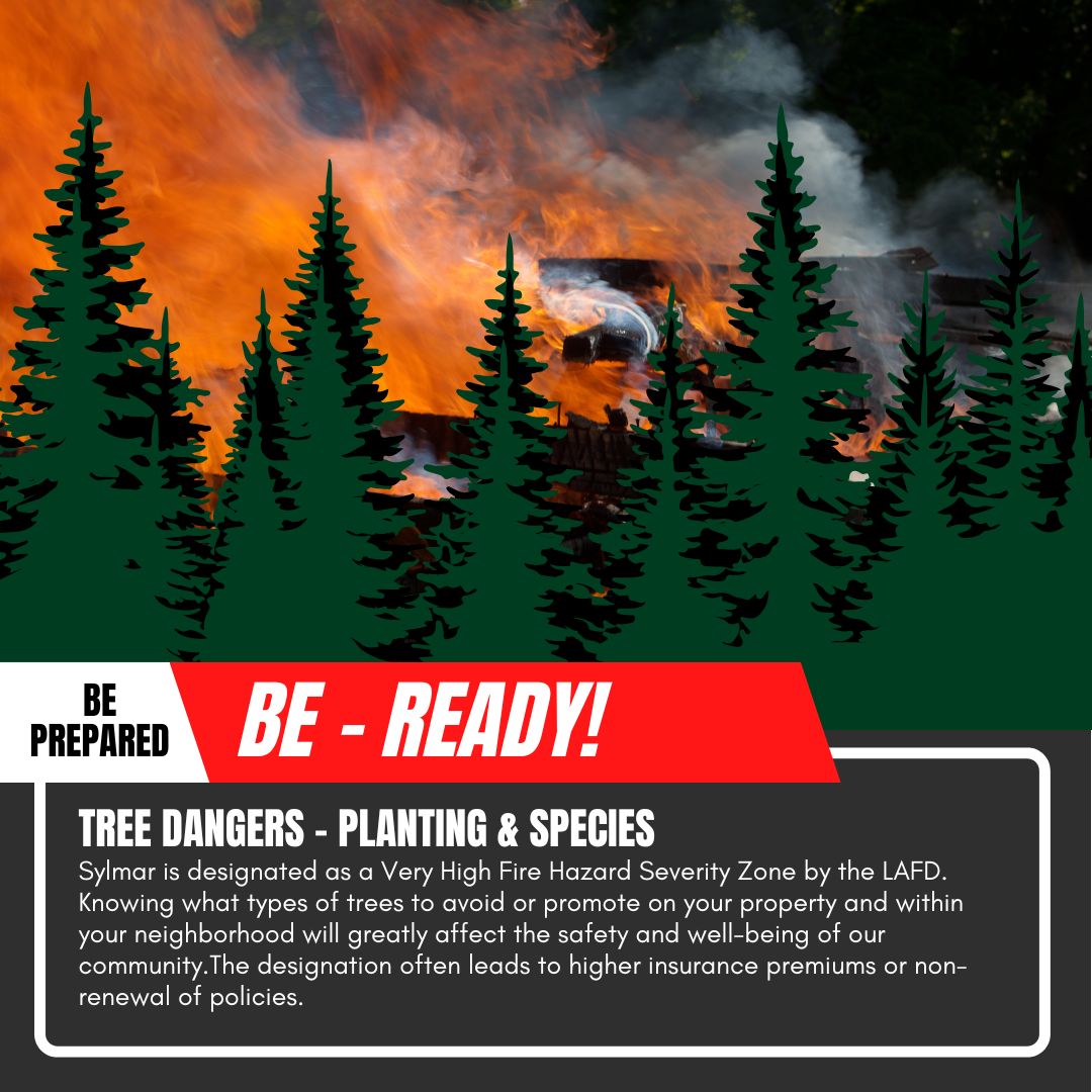
FIRE! Be Ready! Tree Dangers

Sign-Up to Receive Agendas

Sylmar Community Calendar

MyLA311



My LA 311
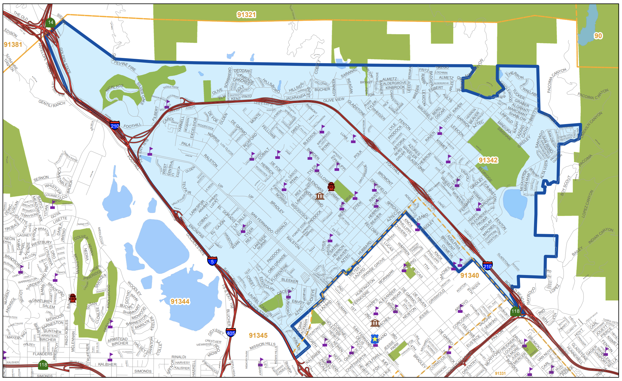
Area Boundaries and Map
View our neighborhood council boundaries for which we deal with.

EMPOWER LA

NEIGHBORHOOD COUNCIL CALENDAR & EVENTS
The public is invited to attend all meetings.

NEIGHBORHOOD COUNCIL FUNDING SYSTEM DASHBOARD

SUBSCRIBE TO NC MEETING NOTIFICATION