
-
(818) 833-8737
13521 Hubbard St.Sylmar, CA 91342
- Login
Coyote Reporting & Safety
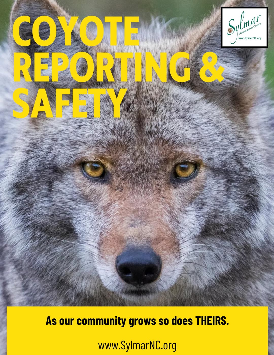
The best way to avoid conflicts with coyotes:
Preventing Conflicts:
Whether you live in an urban, residential, rural or remote area of California, wild animals are our neighbors. As our human population expands into wildlife habitat, human-wildlife interactions have increased. Most wild animals, including coyotes, naturally avoid or fear humans. Coyotes are at increased risk of becoming food conditioned or habituated due to increased access to non-natural food sources. Some people do not realize the harm in feeding wild animals or preventing access to attractants.
Coyote Hazing:
Coyote hazing is the act of scaring or startling a coyote using loud noises, aggressive body language, and harmless projectiles to restore its natural fear of humans. This method keeps neighborhoods safe by teaching wild animals that people and yards are off-limits.
- Stand tall and look big: Raise your arms, open your jacket, or wave objects like a stick or umbrella above your head.
- Make loud noises: Yell firmly (such as "Go away, coyote!"), clap your hands, or use an air horn, whistle, or shaker can filled with pennies.
- Throw small items: Toss rocks, sticks, or tennis balls toward the coyote to startle it, but do not aim directly to injure the animal.
- Spray water: Use a garden hose, water pistol, or motion-activated sprinkler.
- Maintain the pressure: Keep hazing until the coyote fully leaves the area, even if it stops and looks back. Safety Rules
- Never run away: Running can trigger a coyote's instinct to chase.
- Protect pets: Pick up small pets or keep dogs on a short leash (under 6 feet) before starting.
- Know when not to haze: Do not haze sick or injured coyotes, animals trapped with nowhere to run, or females near an active den or young pups. Contact local animal services or wildlife authorities instead.
Resources
- Livestock Protection Tools for California Ranchers (PDF)(external link) (UC Cooperative Extension)
- Be Coyote Aware Flyer (PDF) - English(external link) (Project Coyote)
- Be Coyote Aware Flyer (PDF) - Spanish(external link) (Project Coyote)
- Coexisting with Coyotes(external link) (National Park Service)
- Integrated Pest Management - Coyotes (external link)(UC-ANR)
- Wildlife Damage Management – Coyotes (November 2020) (PDF)(external link) (USDA APHIS)
- Predator Management Research - National Wildlife Research Center(external link) (USDA APHIS)
- Report a Coyote Incident (external link)(CDFW online system)
Additional Resources:
- Safe Coexistence with Coyotes (YouTube)(external link)
- Don't Feed Wildlife Sign (PDF) - English(external link) (Project Coyote)
- Don't Feed Wildlife Sign (PDF) - Spanish(external link) (Project Coyote)
- Coyote Cacher: Interactive Coyote Encounter Map(external link) (UC Cooperative Extension reporting tool)
- Wildlife Watch: Community-Based Program
- Wildlife Resistant Products (PDF)

Represent Your Community
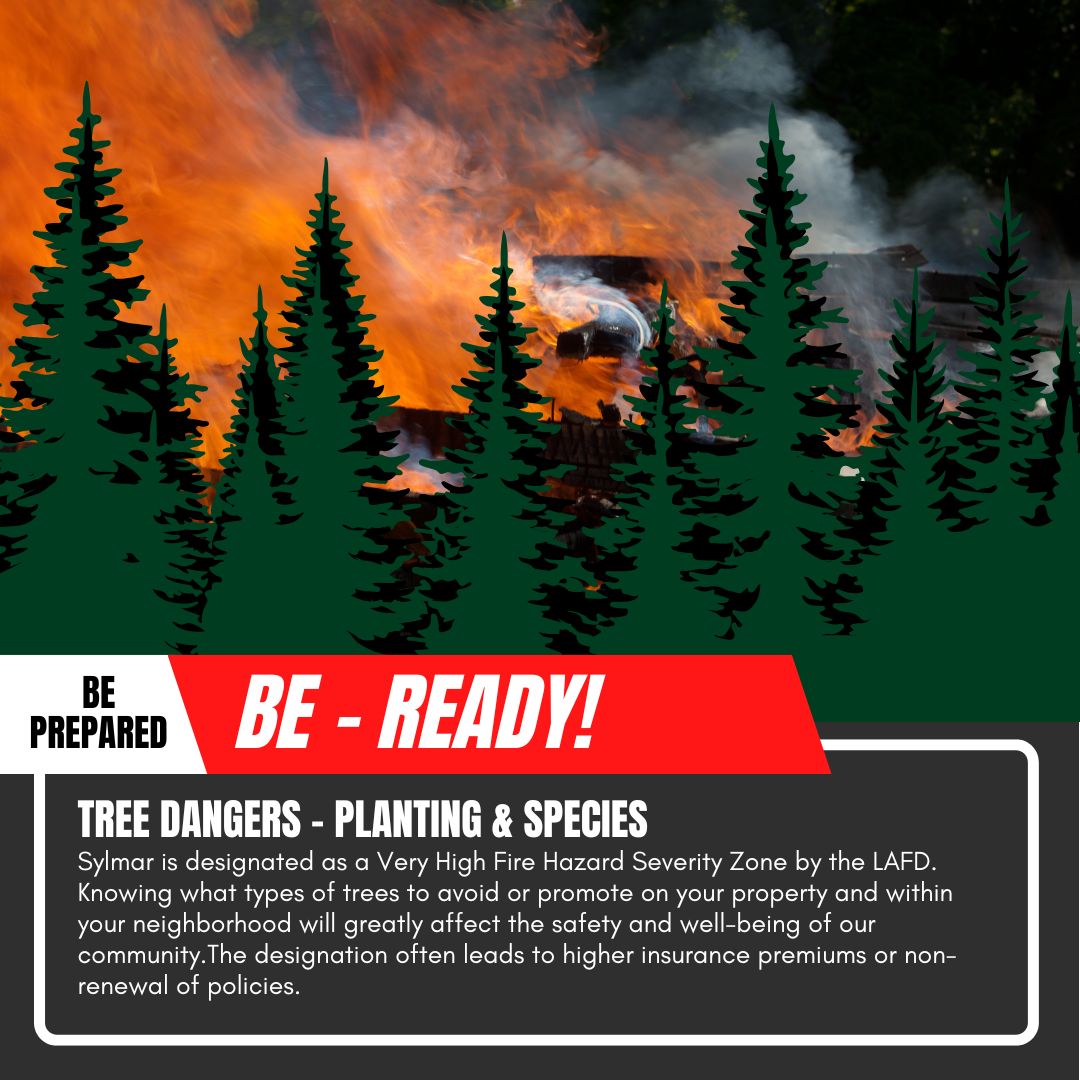
FIRE! Be Ready! Tree Dangers

Sign-Up to Receive Agendas

Sylmar Community Calendar

MyLA311



My LA 311
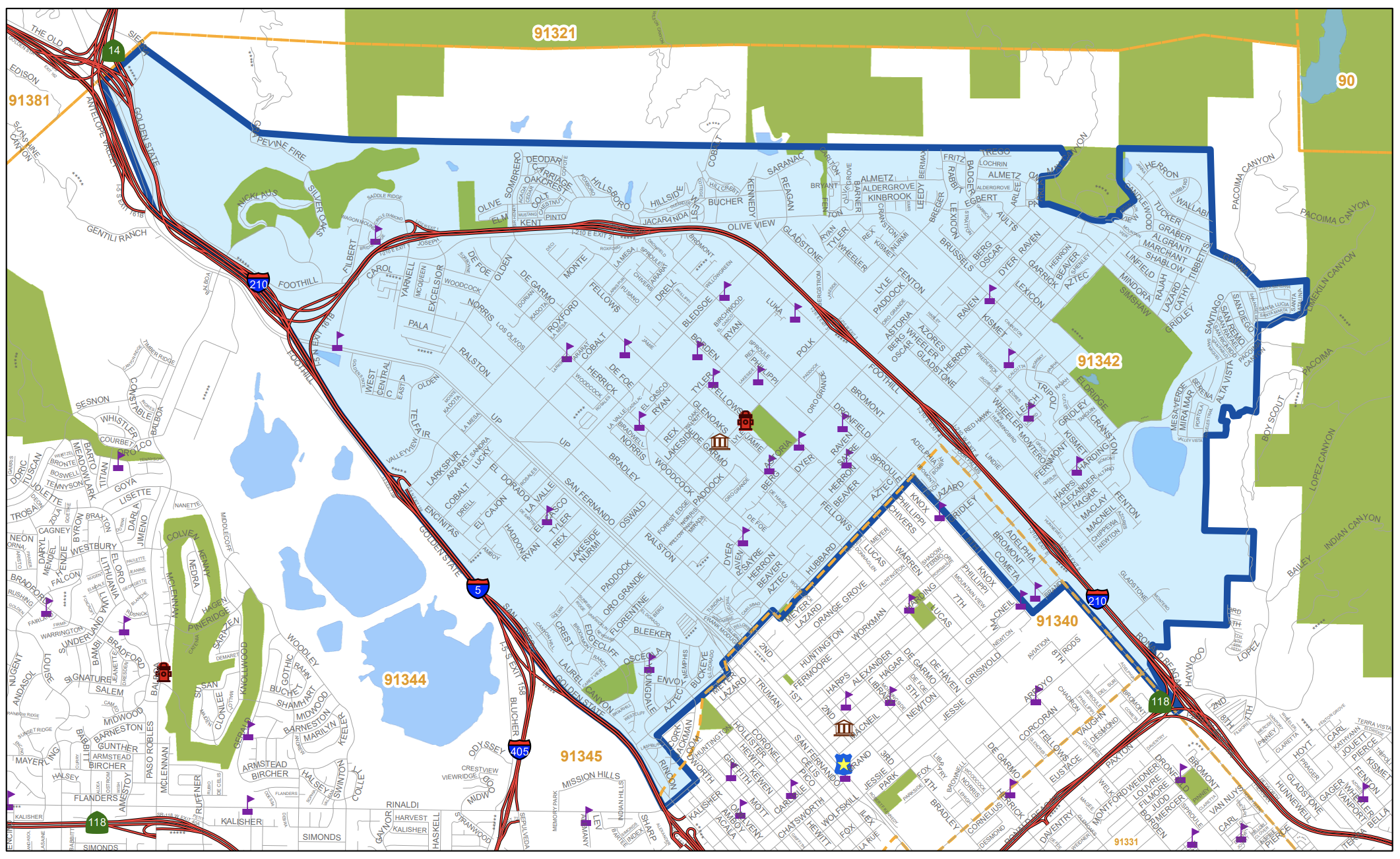
Area Boundaries and Map
View our neighborhood council boundaries for which we deal with.

EMPOWER LA

NEIGHBORHOOD COUNCIL CALENDAR & EVENTS
The public is invited to attend all meetings.

NEIGHBORHOOD COUNCIL FUNDING SYSTEM DASHBOARD

SUBSCRIBE TO NC MEETING NOTIFICATION